
Geospatial Science and Applications

Geospatial skills are in high demand to help solve real-world problems and enhance an organization's efficiency and effectiveness. Individuals skilled in gathering and interpreting geographic information to create maps are needed more than ever across many industries.
Faculty and GW-affiliated researchers investigate topics such as open-source geographic information systems, poverty mapping, seasonality of agriculture, mobility/accessibility and land change modeling.
Spatial Analysis Lab

The Department of Geography and the Environment’s Spatial Analysis Lab consists of 28 networked PCs featuring the latest in both proprietary and open source GIS and remote sensing software.
After joining a lab-based class, students receive a lab account login. Students who are not in the department but wish to access the spatial analysis software should contact the Geography and the Environment Department. Note that there is a charge for printing, unless students have paid a lab fee.
Spatial Analysis Lab
Samson Hall, Room 109
2036 H St. NW
Lab Manager: Richard Hinton
Featured Researchers
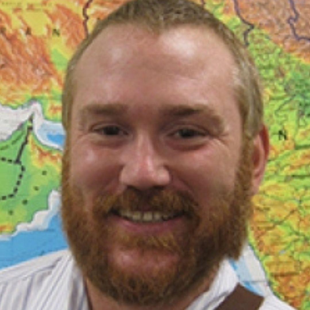
- Professor Brendan Hurley uses geospatial data and applications to map the locations of sea turtles.
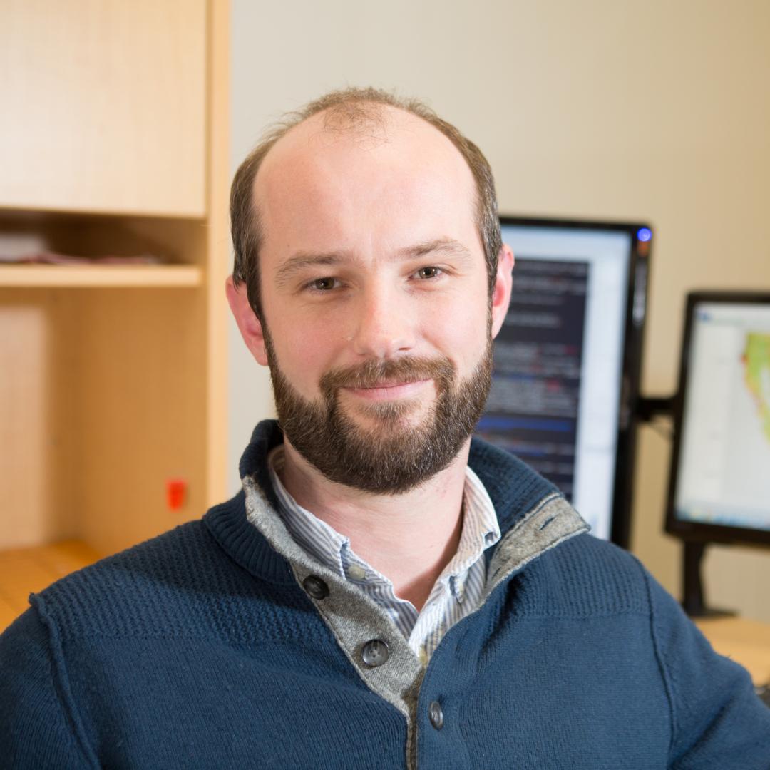
- Richard Hinton teaches OpenSource GIS in the Geography and the Environment Department’s Spatial Analysis Lab.
Faculty in This Focus


Long-Term Student Involvement in OpenSource Mapping

The Humanitarian Mapping Society at GW organizes monthly Mapathons that seek to remotely map communities—particularly the most vulnerable— that have not been formally mapped before.
The resulting maps and data are publicly available and enable international and local non-governmental organizations and individuals to improve their response to crises affecting these areas.