


Geography Researcher Aims to Map Gentrification in D.C.
Senior Gavin Derleth plans to quantify and analyze the impact of gentrification on neighborhoods and members of the local community.

Geography students in GW's Columbian College of Arts and Sciences learn the technical skills essential to geography-based careers, as well as transferable expertise in problem solving, research and emerging technologies.
Students may explore human geography, studying the migration patterns, languages and cultures that shape our world. Others focus on physical geography, digging into climate patterns, the formation of landforms and the evolving impact of plant and animal species change. Still others master the latest techniques in geospatial geography, learning how to construct the navigation systems the world relies on. All undergraduates gain a thorough foundation in geography and its applications through introductory courses taught entirely by tenure-track faculty.
Learn more in a short video about the Field Methods class at GW.
What is Geography?
What can you expect from our department?
Common Double Majors with Geography
How to Declare a Major
Environmental Studies or Environmental & Sustainability Sciences?
Minor in Geographic Information Systems
"My GIS and physical geography classes were vital to my internship in Colombia. My education was put to the test when I had to explain ‘bioaccumulation’ and ‘gentrification’ in Spanish to professionals in the field."
Sarah Cassius
BA '19

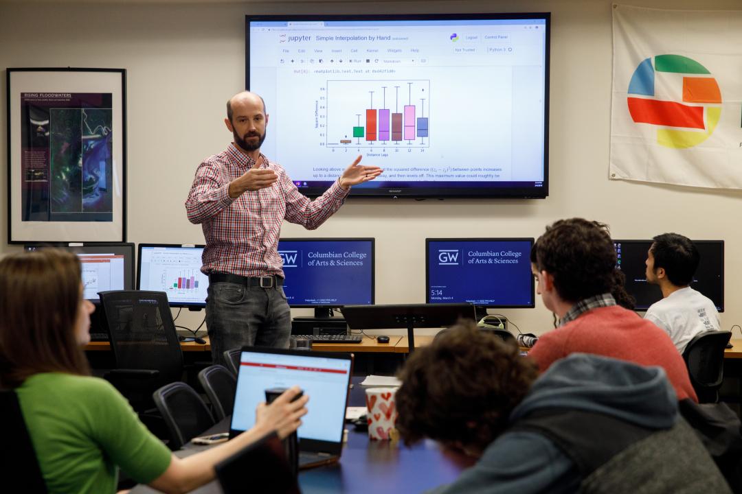
Geographers use many tools and techniques in their work, and geographic technologies are increasingly important for understanding our complex world. For example, these technologies allow geographers to plan new communities, decide where new highways should be placed and establish evacuation plans.
Through coursework and research, Department of Geography and Environment students become fluent in the latest advancements in the field:

Undergraduate students use Washington, D.C., as an outdoor laboratory to explore urban trends. In one course, students visited the National Mall to study the meaning of monuments and memorials.
In an introductory geography course, students mapped the globalization of Facebook users as a way to explore contemporary themes in human geography.
Partnering with the local D.C. nonprofit Casey Trees, student coursework has included inventorying campus trees—measuring both tree diameter and canopy.
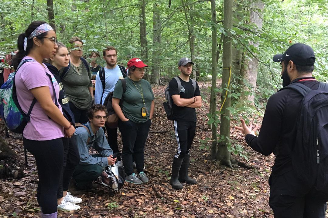
Fourth-year students participate in an annual class trip outside the city to work in small groups, collaborate with professors and refine their final project ideas.

Geography Researcher Aims to Map Gentrification in D.C.
Senior Gavin Derleth plans to quantify and analyze the impact of gentrification on neighborhoods and members of the local community.

Geography major Vikram Albrecht talks about his most memorable moment during his time at GW.

Support Networks, Mentoring Key to Immigrant Youth Success
Ivana Mowry-Mora, BS ’20, researches how immigration status affects access to mentorship and networking resources.